|
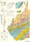
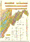
Who Wouldn't Want This? The wall-size geologic map of West Virginia Geologic Map of West Virginia: D.H. Cardwell, R.B. Erwin, and H.P. Woodward, 1968, 1:250,000, in two sheets (east half and west half), each 42'' x 58''. Shows areal geology, topographic contours, streams, lakes, and general culture. Insets include tectonic, basement, and systemic maps with explanatory texts, correlation charts, cross sections, formation descriptions, and generalized columnar sections. $15.95 for folded map only. ($20.00, regular price, for rolled) MAP-1. |
||||||||||||||||||||||||||||||||||||||||||||||||||||||||||||||||||||||||||||||||||||||||||||||||||||||||||||||||||||||||||||||||||||||||||||||||||||||||||||||||||||||||||||||||||||||||||||||||||||||||||||||||||||||||||||||||||
|
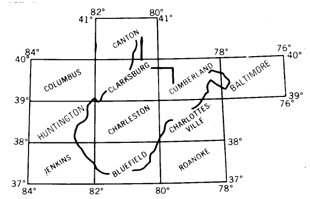
Topography you can feel Raised-Relief Topo Maps: Three-Dimensional plastic topographic maps, 1 by 2 degrees (1:250,000 scale). Availability varies. We currently have Charleston, Clarksburg West, Huntington, Charlottesville, Roanoke, and Jenkins. When we run out, we won't get any more. Please call us to see if we have the one you want. only $19.95! Regularly $27.95. (Shipping is $7.50 instead of $5.60 on these.) |
||||||||||||||||||||||||||||||||||||||||||||||||||||||||||||||||||||||||||||||||||||||||||||||||||||||||||||||||||||||||||||||||||||||||||||||||||||||||||||||||||||||||||||||||||||||||||||||||||||||||||||||||||||||||||||||||||
|
Here is how to order
|
|||||||||||||||||||||||||||||||||||||||||||||||||||||||||||||||||||||||||||||||||||||||||||||||||||||||||||||||||||||||||||||||||||||||||||||||||||||||||||||||||||||||||||||||||||||||||||||||||||||||||||||||||||||||||||||||||||
|
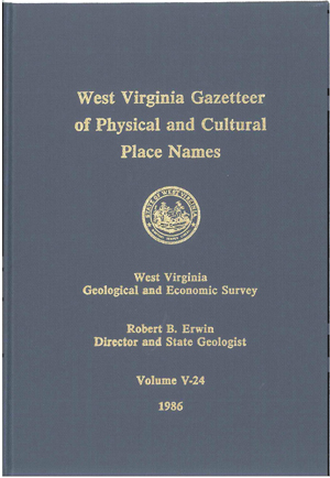
Get to Know Your State Better with this classic volume V-24, West Virginia Gazetteer of Physical and Cultural Place Names: 1986, 809 p, 6 f, 3 maps. Alphabetically lists place names in West Virginia, and for each name shows what the place name is (town, church, stream, etc.), county, tax district, USGS 7.5-minute quadrangle map, Universal Transverse Mercator coordinates, and elevation in feet and meters. Place names are from USGS 7.5-minute maps, 15-minute maps, the Survey's County Geologic Report maps, and other sources. Maps show locations of major place names, counties, tax districts, quadrangles, and relief. Includes MAP-WV21 (index to quadrangles), MAP-WV22 (UTM), and MAP-WV23 (shaded relief), all 1:500,000 scale. Types of place names listed: airports, archeological sites, bends, bottoms, bridges, caves, cemeteries, communities, country clubs, dams, fords, gaps, hollows, institutions, islands, knobs, lakes, monuments, mountains, natural features, overlooks, parks, places of worship, power plants, railroads, recreation areas, ridges, roads, schools, springs, streams, towers, trails, triangulation stations, tunnels, valleys, waterfalls, and wetlands. only $19.95! Regularly $35.00. |
||||||||||||||||||||||||||||||||||||||||||||||||||||||||||||||||||||||||||||||||||||||||||||||||||||||||||||||||||||||||||||||||||||||||||||||||||||||||||||||||||||||||||||||||||||||||||||||||||||||||||||||||||||||||||||||||||
|
|
Vintage State Park Bulletins
Collectors' Items! Patina included. Yours for only $2.95 each.
Get 'em while you can.
These black and white booklets measure 5.5'' by 8.5''. We are gradually updating these classic bulletins, so when these are gone, they're gone for good! They are yellowed with age, but that just makes them more special. SP-1, The Geology of Hawks Nest State Park, West Virginia: J. C. Ludlum, 1951, 25 p, 9 pl, 4 f., Geology and geography of the famous New River Gorge at Hawks Nest, Fayette County. SP-2, The Geology of Cacapon State Park, West Virginia: J. C. Ludlum, 1952, 33 p, 18 pl, 4 f. Geology, geography, and natural resources of Cacapon State Park, Morgan County. Replaced by SP-7 SP-3, The Geology of Lost River State Park, West Virginia: J. C. Ludlum, 1952, 33 p, 21 pl, 3 f. Geology and natural resources of Lost River State Park, Hardy County. Replaced by SP-7 SP-4, The Geology of Watoga and Droop Mountain Battlefield State Parks, West Virginia: J. C. Ludlum, 1954, 40 p, 17 pl, 3 f. Popular account of geology, history, and resources of two State parks in Pocahontas County. SP-5, Geology of the Coopers Rock State Forest and Mont Chateau State Park: C. E. Hare, 1957, 26 p, 14 pl, 3 f. Geology and resources of Coopers Rock State Forest in Monongalia and Preston Counties, and Mont Chateau State Park in Monongalia County. SP-6, Blackwater Falls State Park and Canaan Valley State Park - Resources, Geology, and Recreation: J. C. Ludlum, T. Arkle, Jr., 1971, 60 p, 18 pl, 4 f, 4 maps. Historical summary of settlement and economic developments; geology; scenic trips. (See FTG-3) Replaced by SP-6A |
||||||||||||||||||||||||||||||||||||||||||||||||||||||||||||||||||||||||||||||||||||||||||||||||||||||||||||||||||||||||||||||||||||||||||||||||||||||||||||||||||||||||||||||||||||||||||||||||||||||||||||||||||||||||||||||||||
|
|
Updated with beautiful color photographs and maps
The Geology of Cacapon Resort and Lost River State Parks (State Park Bulletin SP-7) is a highly-illustrated geological tour through these two eastern panhandle state parks in the Valley and Ridge physiographic province. Cacapon Resort State Park is in Morgan County, and Lost River State Park is in Hardy County. The 36-page booklet describes the rocks and geologic history that visitors will encounter in each park, and explains each park's topography and prominent geological features. In addition to text written for the non-specialist, the booklet is filled with explanatory illustrations and beautiful photographs. Fold-out colored geologic maps identify the rock units visible in each park area. $5.95, SP-7.
The Geology of Canaan Valley Resort and Blackwater Falls State Parks (State Park Bulletin SP-6A) follows a similar format for these two eastern West Virginia state parks in Tucker County, in the Allegheny Mountain Section of the Appalachian Plateau physiographic province. The highly-illustrated 32-page booklet describes the geology, rocks, and landforms in these parks, including the geology responsible for the formation of the falls of the Blackwater River and the broad valley at Canaan. Fold-out colored geologic maps identify the rock units visible in each of these parks areas. $5.95, SP-6A. |
||||||||||||||||||||||||||||||||||||||||||||||||||||||||||||||||||||||||||||||||||||||||||||||||||||||||||||||||||||||||||||||||||||||||||||||||||||||||||||||||||||||||||||||||||||||||||||||||||||||||||||||||||||||||||||||||||
|
Really old (Christmas) trees! 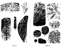 Plant Fossils of West Virginia, ED-3A :
 W.H. Gillespie, J.A. Clendening, and H.W. Pfefferkorn, 1978, 172 p, 64 pl, 20 f. A classic gem, and we won't even charge you extra for the antiquing! This paperback is organized chronologically from Precambrian to Recent, and includes chapters on how and where fossils occur, collecting and preservation methods, and spores and pollens. Thoroughly indexed. May be a bit yellowed. was $8.00, now $4.95! |
||||||||||||||||||||||||||||||||||||||||||||||||||||||||||||||||||||||||||||||||||||||||||||||||||||||||||||||||||||||||||||||||||||||||||||||||||||||||||||||||||||||||||||||||||||||||||||||||||||||||||||||||||||||||||||||||||
|
Here is how to order
|
|||||||||||||||||||||||||||||||||||||||||||||||||||||||||||||||||||||||||||||||||||||||||||||||||||||||||||||||||||||||||||||||||||||||||||||||||||||||||||||||||||||||||||||||||||||||||||||||||||||||||||||||||||||||||||||||||||
|
|
''Lake Maps'' Great for those who boat, hunt, or fish
OF-9507, Stonewall Jackson Lake Wildlife Management Area: 1995, 3 maps, 1:24,000, 11'' x 17''. Three laminated, 11'' x 17'' comb-bound color sheets based on 7.5-minute topographic quadrangles show lake and surrounding area including original river channels and 20-foot elevation contours. Was $12.00, now $8.95! OF-9508, Sutton Lake: 1995, 4 maps, 1:24,000, 11'' x 17''. Four laminated 11'' x 17'' comb-bound color sheets based on 7.5-minute topographic quadrangles show lake and surrounding area including original river channels and 20-foot elevation contours. Was $15.00, now $9.95! OF-9509, Beech Fork Lake Wildlife Management Area: 1995, 3 maps, 1:24,000, 11'' x 17''. Three laminated 11'' x 17'' comb-bound color sheets based on 7.5-minute topographic quadrangles show lake and surrounding area including original river channels and 20-foot elevation contours. Was $12.00, now $8.95! OF-9510, Summersville Lake: 1995, 4 maps, 1:24,000, 11'' x 17''. Four laminated 11'' x 17'' comb-bound color sheets based on 7.5-minute topographic quadrangles show lake and surrounding area including original river channels and 20-foot elevation contours. Was $15.00, now $9.95! OF-0401, Burnsville Lake Public Hunting and Fishing Area: 2004, 1 maps, 1:24,000, 11'' x 17''. One laminated 11'' x 17'' color sheet based on 7.5-minute topographic quadrangles show lake and surrounding area including original river channels and 20-foot elevation contours. Was $4.00, now $2.95! |
||||||||||||||||||||||||||||||||||||||||||||||||||||||||||||||||||||||||||||||||||||||||||||||||||||||||||||||||||||||||||||||||||||||||||||||||||||||||||||||||||||||||||||||||||||||||||||||||||||||||||||||||||||||||||||||||||

|
More fishing stocking stuffers...
Small-Impoundment Fishing Guide, a booklet of lake depths and other interesting things.
Fishing Guides, booklets for specific lakes including Tygart Lake, Stone Coal Lake, Sutton Lake, and Beach Fork Lake.
|
||||||||||||||||||||||||||||||||||||||||||||||||||||||||||||||||||||||||||||||||||||||||||||||||||||||||||||||||||||||||||||||||||||||||||||||||||||||||||||||||||||||||||||||||||||||||||||||||||||||||||||||||||||||||||||||||||

|
Maps, maps, and more maps
MAP-13, Topographic Map of West Virginia : USGS, 1984, 1 maps, 1:500,000, 36" x 40". Full-color map showing contours (200-foot intervals), highways, counties, drainage, towns (with population key), national parks and forests.
West Virginia Atlas and Gazetteer by DeLorme, FIFTH edition : 2011, topographic and road maps covering the entire state on 63 map pages in booklet form, size 11'' by 15.5''.
We have maps of all kinds and scales!
Call us if you are looking for something in particular and cannot find it here or on our Publications pages. You may also try our Interactive Topographic Map Index. We sell 7.5 Minute Quadrangles (1:24,000 scale), 15 Minute Quadrangles (1:63,500 scale), 30 X 60 Minute Quadrangles (1:100,000 scale), and 1 degree X 2 degree Quadrangles (1:250,000 scale) for the entire state.
We currently are featuring our 1 degree X 2 degree Quadrangles (1:250,000 scale) and our 30 X 60 Minute Quadrangles (1:100,000 scale) maps for $6.95, on sale. Prices vary for other maps. |
||||||||||||||||||||||||||||||||||||||||||||||||||||||||||||||||||||||||||||||||||||||||||||||||||||||||||||||||||||||||||||||||||||||||||||||||||||||||||||||||||||||||||||||||||||||||||||||||||||||||||||||||||||||||||||||||||
|
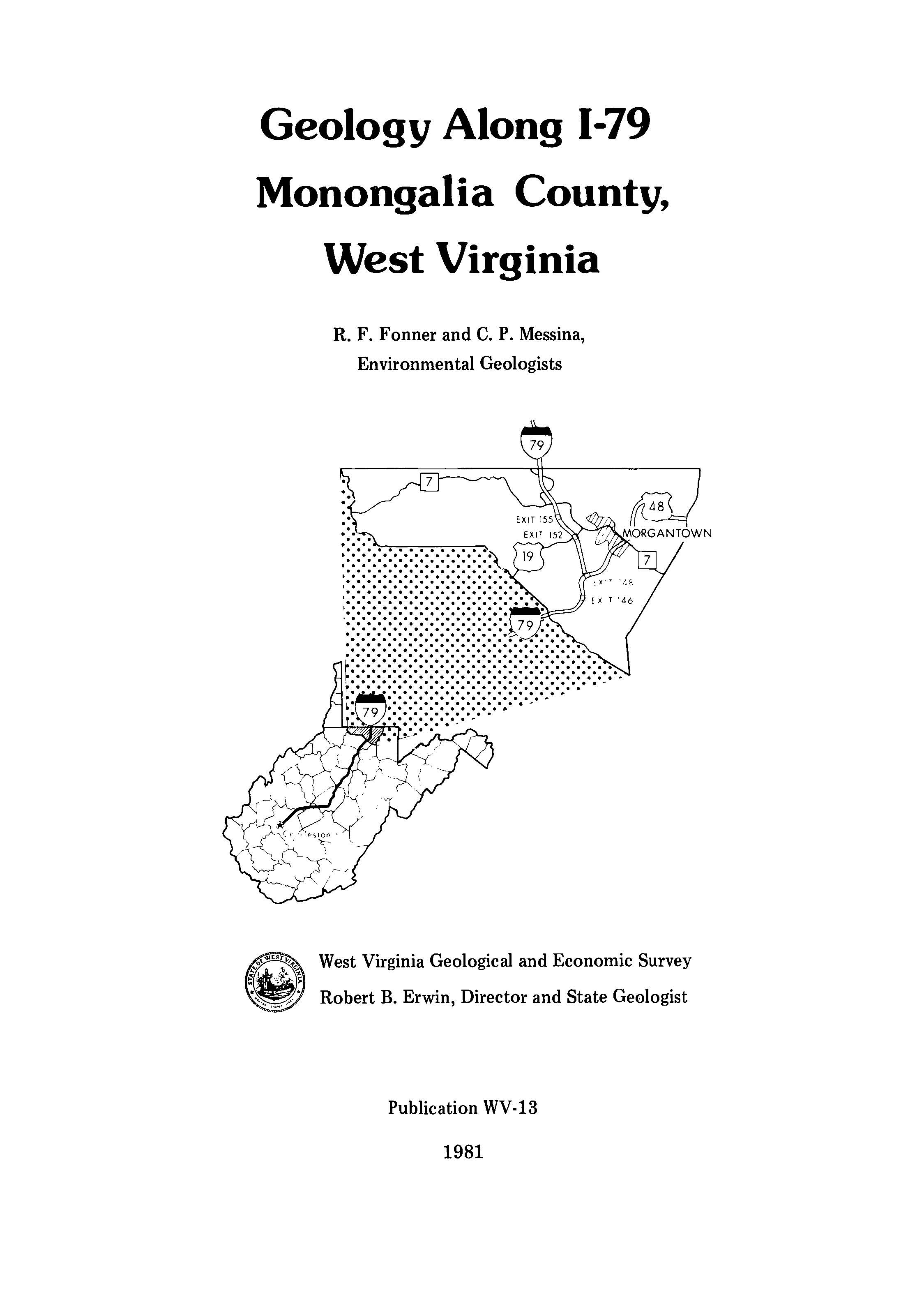
Highway Geology map series (9 map booklets in the series) :
3 for $19.95; or $10.00 each |
||||||||||||||||||||||||||||||||||||||||||||||||||||||||||||||||||||||||||||||||||||||||||||||||||||||||||||||||||||||||||||||||||||||||||||||||||||||||||||||||||||||||||||||||||||||||||||||||||||||||||||||||||||||||||||||||||
|
Here is how to order
|
|||||||||||||||||||||||||||||||||||||||||||||||||||||||||||||||||||||||||||||||||||||||||||||||||||||||||||||||||||||||||||||||||||||||||||||||||||||||||||||||||||||||||||||||||||||||||||||||||||||||||||||||||||||||||||||||||||
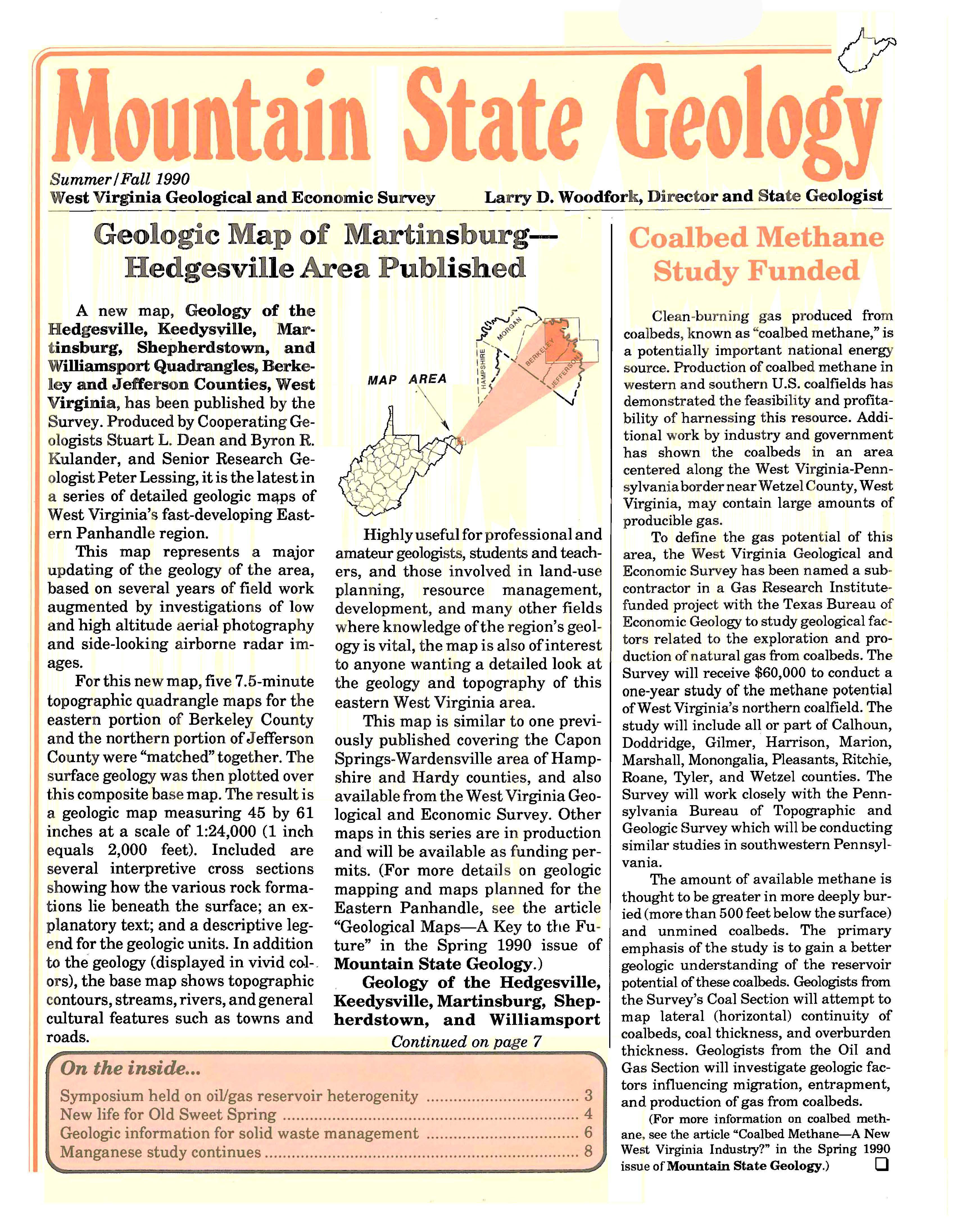
|
Mountain State Geology, Only $1 each! :
|
||||||||||||||||||||||||||||||||||||||||||||||||||||||||||||||||||||||||||||||||||||||||||||||||||||||||||||||||||||||||||||||||||||||||||||||||||||||||||||||||||||||||||||||||||||||||||||||||||||||||||||||||||||||||||||||||||
Please call us during business hours at (304) 594-2331 or download the ![]() Order Form (PDF) to place your order by mail.
Order Form (PDF) to place your order by mail.
Visit the Basic Publications Search Page or our Advanced Search Page for our other publications (including FREE downloads). If you are in Morgantown, stop by! Our Pub Sales department is open from 8:30 AM to 4:30 PM on normal business days.
 1 Mont Chateau Road