
Go to CBMP IMS by Group and Individual Coal Bed
Coal feature shapefiles or file geodatabases are available from the Coal Bed Mapping Project. Complete the form via the link to access the download page: https://arcg.is/1uLeey.
500XXX series numbers are internal numerical place savers for active mines delivered to WVGES as CAD files. These files are considered confidential by WVMHS&T and are therefore unavailable to users. We are given only the mine outline with no additional information.
- Interactive Mapping Service (IMS) for All Mining
- IMS by Group and Individual Coal Bed
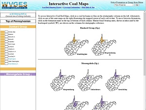
- Pennsylvanian Coal Stratigraphy

- Explanation of Coverages
- Geologic Formations and Groups Page
- Project Goals
- Very General WV Coal Geology
- About Our Maps
- Interactive Map Tutorial
- Mine Map Archives
- Scanned Mine Map Images for Download
If this is your first time here, please view the Interactive Map Help Guide before using the maps where you will find useful information on our available map tools. Please note: Most coal interactive maps are also available through our ArcGIS Server mapping services (REST) at ...arcgis/rest/services/Coal_Web_Mercator.
Hyperlinks to Mine Maps
Click on a mining polygon in an interactive map. You will get a "pop-up" that conatains further information about the mine. Hyperlinks to more detailed information and images will be in blue text.
Hyperlinks are available on the following features:
- Underground Mined Coal
- Mined and Remaining Coal
- Aperture Card Labels
- Geological Discontinuities
- Mining Extent Unknown
Note that mine maps with aperture card labels in the 500xxx and 953xxx series are not available to the public.