This page provides FREE material culled from the experiential RockCamp Program, which began as a National Science foundation-funded program in 1992, continued with state funding and external grants provided to the
West Virginia Geological and Economic Survey, morphed into a web-only platform in 2009, and, in 2016, was shuttered due to State budgetary issues. RockCamp was based on the idea that recurrent teacher participation
in a series of increasingly complex professional development sessions was the key to building a strong state-wide community of earth science educators willing to acquire, share, and modify pedagogical content knowledge.
Recognizing the vast amount of educational material RockCamp's participants and staff created, this page represents a commitment to ensure that at least a majority of that material remains available and accessible.
RockCamp, in all its formats and variations, was a contact engine for educators. Its cessation removes this option. Please note that there is no attempt to imply ''this is the way it should be done.'' Instead, it
provides ideas and one way to implement them. It is the user's responsibility to adapt and modify the material to address the needs and content level of their classroom environment. You are encouraged to download
material and rip out illustrations for projection purposes and to use them for conceptual exploration, development, or assessment.
Geology Content Knowledge
These publications build upon each other. A review of previous discussions may enhance understanding of newer material.
|
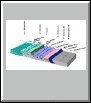
Conceptual Understanding Series for West Virginia Teachers: Plate Tectonics

(ED-15, J. J. Renton, T. E. Repine, Jr., 2009, 29 p, 31 f, 8.5'' x 14'')
Booklet to assist the K-12 science teacher in understanding and teaching introductory theories and concepts of plate tectonics. Classroom activities and
demonstrations. Engaging and well illustrated conversational text style. Free printable digital PDF version and downloadable JPG illustrations (that can
be used for projection purposes). See also more in this series: ED-16, ED-17. (  PDF PDF, 2.5 MB)
View and download the images from this publication: ED-15 Illustrations (.pptx, 6.2 MB).
|
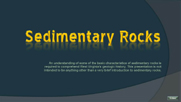
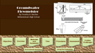
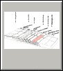
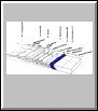
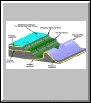
Conceptual Understanding Series for West Virginia Teachers: Sedimentary Rocks

(ED-16, J. J. Renton, T. E. Repine, Jr., 2011, 48 p, 91 f, 8.5 x 14)
This booklet assists the K-12 science teacher in understanding and teaching introductory theories and concepts covering the formation and deformation of sedimentary rocks.
It contains classroom activities and demonstrations with engaging and well-illustrated conversational text style. Free printable digital PDF version and downloadable JPG illustrations
(that can be used for projection purposes). See also more in this series: ED-15, ED-17.
( PDF, 7.7 MB)
View and download the images from this publication: ED-16 Illustrations, Part 1 (Figures 1 to 44) (.pptx, 12.3 MB); ED-16 Illustrations, Part 2 (Figures 45 to 91) (.pptx, 11.6 MB).
|
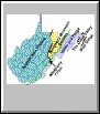
Conceptual Understanding Series for West Virginia Teachers: Igneous Rocks

(ED-17, J. J. Renton, T. E. Repine, Jr., 2013, 19 p, 31 f, 8.5 x 14)
This booklet assists the K-12 science teacher in understanding and teaching introductory theories and concepts covering the formation and identification of common igneous rocks.
Classroom activities and demonstrations. Engaging and well-illustrated conversational text style. Free printable digital PDF version and downloadable JPG illustrations
(that can be used for projection purposes). See also more in this series: ED-15, ED-16.
( PDF, 3.4 MB)
View and download the images from this publication: ED-17 Illustrations (.pptx, 7.7 MB).
|
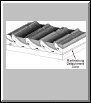
Conceptual Understanding Series for West Virginia Teachers: Weathering and Mass Wasting

(Renton, J.J, and T.E. Repine, Jr., 2016, 34 p, 50 f.)
Booklet to assist the K-12 science teacher in understanding and teaching introductory theories and concepts covering weathering and mass wasting. Free printable digital PDF version of booklet and separate, downloadable JPG illustrations
(that can be used for projection purposes). ( PDF, 4.2 MB)
Download Figures 1 through 10 in a compressed (zip) file: Figs 1 to 10 from the booklet (.zip, 6.2 MB).
Download Figures 11 through 20 in a compressed (zip) file: Figs 11 to 20 from the booklet (.zip, 5.5 MB).
Download Figures 21 through 30 in a compressed (zip) file: Figs 21 to 30 from the booklet (.zip, 5 MB).
Download Figures 31 through 40 in a compressed (zip) file: Figs 31 to 40 from the booklet (.zip, 5 MB).
Download Figures 41 through 50 in a compressed (zip) file: Figs 41 to 50 from the booklet (.zip, 6.1 MB).
For high bandwidth: download ALL the images from this publication in one, VERY large, compressed (zip) file: ALL figures from the booklet (.zip, 28 MB -- VERY LARGE file!).
|
Content PowerPoint Presentations
These files provide content in the indicated content areas and were constructed to take advantage of the interactive nature of PowerPoint in its presentation mode. To access the material, first save the file to your computer. Once saved, open it on your own computer using PowerPoint. On some computers, you may
be required to turn on the presentation mode in PowerPoint to use the files correctly. In presentation (slideshow) mode, click highlighted word to open window. Click open window
to close. Files function best in PowerPoint 2010. The files may NOT work correctly if opened directly from the WVGES web page, especially if using Internet Explorer.
| |
Plate Tectonics
.ppsx, 3.2 MB
|
Depositional Environments
.ppsx, 2.3 MB
|

Igneous Rocks
.ppsx, 4.4 MB
|
Sedimentary Rocks
.ppsx, 1.7 MB
|

Metamorphic Rocks
.ppsx, 1.7 MB
|
| |

Physiographic Provinces
.ppsx, 958 KB
|

Geologic Maps
.ppsx, 557 KB
|

Fossil Quiz
.pptx, 8.4 MB
|
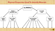
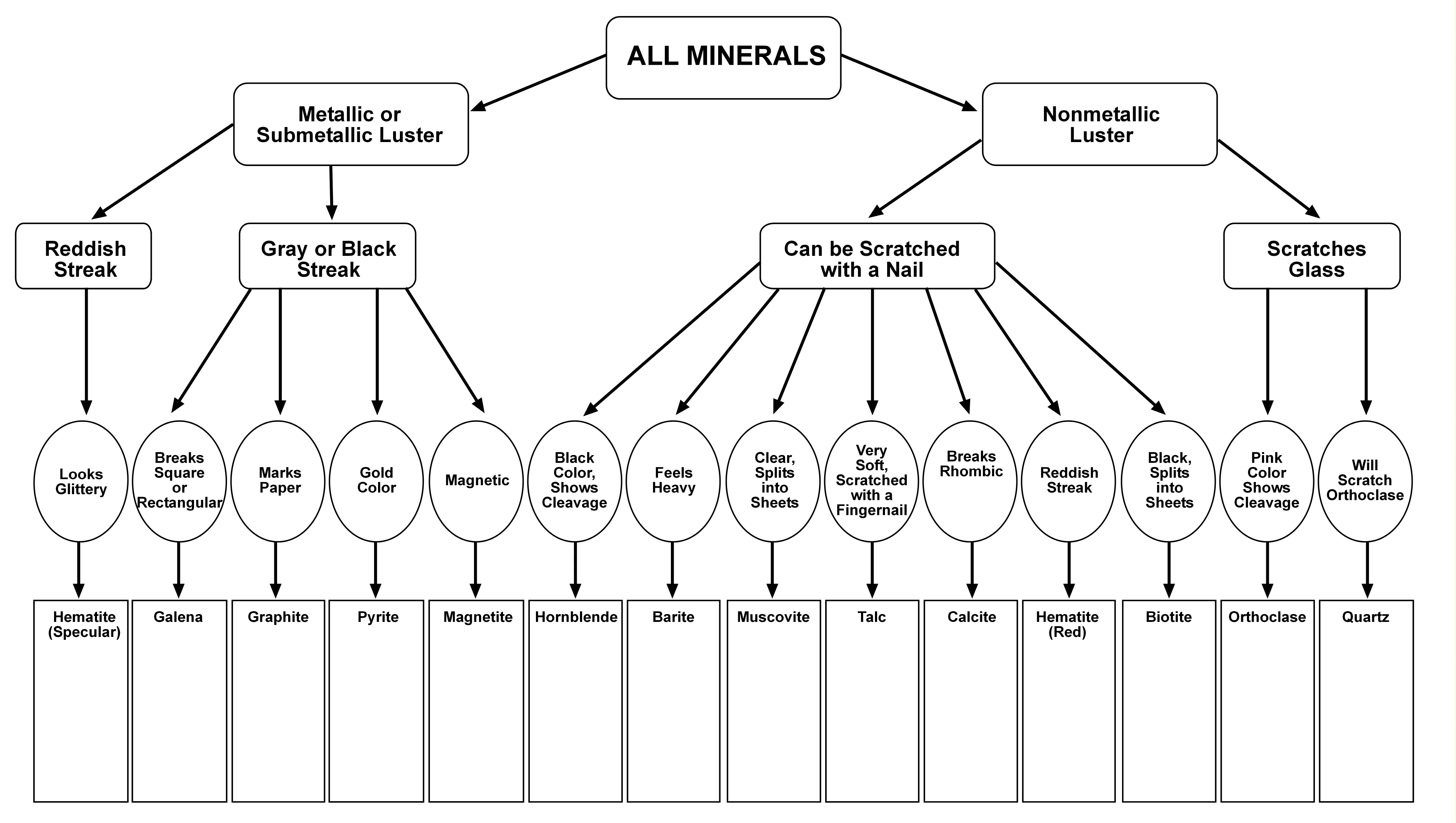
Mineral Identification
.ppsx, 1.2 MB
|

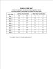
Mineral Identification Chart
.jpg, 16 KB
|
| |
|
Earth Science Classroom Activities
|
Adaptive Earth Science Activities

(ED-13, 1998, 78 p.)
Compilation of earth science activities and projects for kindergarten through 12 th-grade classroom use, designed and tested by West Virginia teachers participating in the Survey's RockCamp earth science education project.
Includes objectives, materials needed, procedures, assessments, and teaching suggestions. Well illustrated.
( PDF, 1.69 MB)
|
Best of...
Classroom activities designed to satisfy requirements for various levels of RockCamp participation. The original activity lesson plans have been reconstructed to
take advantage of the interactive nature of PowerPoint in presentation mode. To access the material, first save the file to your computer. Once saved,
open it on your own computer using PowerPoint. On some computers, you may be required to turn on the presentation (slideshow) mode in PowerPoint to use the files correctly.
In presentation mode, click buttons to reveal text. Click button again to close. Includes objectives, time requirements, materials needed, procedures, assessments,
and teaching suggestions. Files function best in PowerPoint 2010. The files may NOT work correctly if opened directly from the WVGES web page, especially if
using Internet Explorer.
 |
 |
 |
 |
 |
.ppsx, 285 KB
Tell Me A Story |
.ppsx, 159 KB
Behind Jurassic Park |
.ppsx, 251 KB
Drawing From The Past 2 |
.ppsx, 84 KB
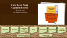
How Does Your Garden Grow? |
.ppsx, 86 KB
Calculating the Porosity of a Sponge |
| |
| |
 |
 |
 |
 |
 |
 |
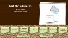
.ppsx, 117 KB
And the Winner Is |
.ppsx, 99 KB
Latitude and Longitude |
.ppsx, 127 KB
Core Sampling |
.ppsx, 115 KB
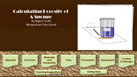
Analogy of Relative Humidity |
.ppsx, 112 KB
How Much Lime is in Limestone? |
.ppsx, 89 KB
Parking Lot Gravel |
| |
| |
 |
 |
 |
 |
 |
 |
.ppsx, 181 KB
Groundwater Flowmeister |
.ppsx, 81 KB
Epicenters |
.ppsx, 139 KB
Star Gazing Inside |
.ppsx, 109 KB
Let's Talk Trash |
.ppsx, 111 KB
Contour Line Activity |
.ppsx, 165 KB
Our Earth's Address |
| |
| |
 |
 |
 |
 |
 |
 |
.ppsx, 111 KB
Mudcracks: A Clue to the Earth's Past |
.ppsx, 87 KB
Are All Limestones Created Equal? |
.ppsx, 79 KB
Whether it Weathers? |
.ppsx, 132 KB
Spelunking: Exploring Caves and Caverns |
.ppsx, 246 KB
Make Your Own Hertzsprung-Russell Diagram |
.ppsx, 671 KB
Fossil Origins |
| |
| |
 |
 |
 |
 |
 |
 |
.ppsx, 80 KB
Weathering and Fossil Preservation |
.ppsx, 98 KB
Compass Treasure Hunt |
.ppsx, 86 KB
Pasta Paleontology |
.ppsx, 89 KB
Rock Riddles |
.ppsx, 160 KB
Deep Ocean Current Forces |
.ppsx, 850 KB
Fossils in Time |
| |
| |
 |
 |
 |
 |
 |
 |
.ppsx, 92 KB
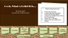
Name that Rock |
.ppsx, 117 KB
Mighty Metamorphic Power Rocks |
.ppsx, 109 KB
Musical Rocks |
.ppsx, 100 KB
Modeling Geologic Columns with Sand Art |
.ppsx, 73 KB
Doughy Topos |
.ppsx, 140 KB
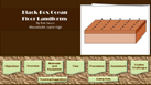
Black-Box Ocean Floor Landforms |
| |
| |
 |
 |
 |
 |
 |
 |
.ppsx, 112 KB
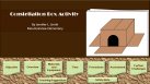
Constellation Box Activity |
.ppsx, 75 KB
Oooh What A Relief It Is... |
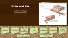
.ppsx, 183 KB
Strike and Dip |
.ppsx, 112 KB
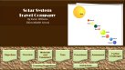
Solar System Travel Company |
.ppsx, 338 KB
A Constructivist Model of Geologic Time |
.ppsx, 75 KB
Drawing from the Past and Building on that Knowledge |
| |
| |
 |
.ppsx, 91 KB
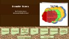
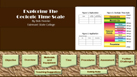
Exploring the Geologic Time Scale |
|
| |
NSTA Published Activity Ideas
Earth Science activities authored by RockCamp participants and published in NSTA peer-reviewed journals The Science Teacher and Science Scope. Articles reflect each author's affiliation at time of publication.

Changing Seasons
( PDF, 181 KB)
|

Our Earth's Address
( PDF, 800 KB)
|

Reconstructing the Geologic Timeline
( PDF, 1.5 MB)
|

Chemistry Rocks
( PDF, 421 KB)
|

The Art of Geology
( PDF, 611 KB)
|

Outcrops in the Classroom
( PDF, 823 KB)
|

Geodesic Earth
( PDF, 375 KB)
|

Quake Search
( PDF, 471 KB)
|

What's the Connection?
( PDF, 471 KB)
|

The Insect Connection
( PDF, 455 KB)
|

Constructive Contours
( PDF, 520 KB)
|

Mining the Learning Cycle
( PDF, 477 KB)
|

I Hate Fieldtrips
( PDF, 806 KB)
|
|
All of the above 13 NSTA Published Activity Ideas compiled into one single, very large, pdf book file.
( PDF, 2.06 MB)
|
|
Activities in Historical Geology

Activities from the out-of-print West Virginia Through Geologic Time (ED-14).
( PDF, 2.06 MB)
|
Hexaflexagons

Hexaflexagon—A three-dimensional study tool that you can make! Also known as a "kaleidocycle," the hexaflexagon idea is based on a "trihexaflexagon" devised by a British student, Arthur H. Stone, while studying at Princeton University in the late 1930s. Strips of paper are folded and taped in such a way to produce a "flexible" 3-D model.
View the video for the Sedimentary Rock hexaflexagon below to see how to construct one.
Download and print any of the templates and try one yourself!
Instructional Video
- Download and view the video (WMV) on how to make and fold a hexaflexagon—total viewing time of 5.30 minutes.
-
Full Video (
 WMV, 79.1 MB; Note, this is a large file—broadband access suggested).
-
Download and view the video in parts:
Hexaflexagon Templates
Download and print the following templates in JPG or PDF.
For JPG files, click on the link for JPG, right click on the large image and choose "Save Picture as" to download the image to your computer.
Sedimentary Rock (2946 x 1060 pixels)

 JPG, 365 KB JPG, 365 KB
 PDF, 397 KB PDF, 397 KB
|
Rock Puzzle (2987 x 1042 pixels)
 JPG, 333 KB
PDF, 56 KB
|
Continental Drift (2891 x 1035 pixels)
 JPG, 339 KB
PDF, 366 KB
|
Continental Movement (2945 x 1063 pixels)
 JPG, 358 KB
PDF, 53 KB
|
|
West Virginia Trackway

Trackway—Introducing students to an ongoing scientific exercise can be accomplished by using the material provided here.
It is best to begin this process by reading the General Information file. Actual real life 1:1 scale illustrations of each track are provided in the Cut-Outs file. It will allow you to print two tracks per page, which can then be cut out and used by students.
The Printing Hints file may prove helpful. The actual pattern required to duplicate the original trackway can be derived from the
Plot Guide. Note that each track has two reference points (a dot and an arrow) each with x, y coordinates. Tape applied to the
floor in the shape of X versus Y axes can allow for plotting the location of each track using its two reference points. The completed
trackway should look something like the one shown in the Plot Guide and Answer Key. Once plotting is finished, trackway
analysis can begin. Begin by asking how many feet the animal walked on. From here you can proceed to trying to get students to see how
four-footed motion can be discerned from the trackway. The three files found under Step Key will be useful at this point. For
example, the first set of related tracks numbered 12, 13, 1, and 4. Another file is an animation depicting foot placement. This
four-footed animal always had three feet in contact with the ground. Tips of digits count. Only one foot was moved at a time. Furthermore,
the posture was one of two feet together on one side and two feet apart on the other side. This posture would be repeated when the next
step was taken. You can illustrate this by using the Animated Trackway found within the Step Key file and by using the
Body Form images. The body form images provide visual help but will only work properly with a fully plotted, life-size, trackway.
Finally, trackway measurements, discussed in the General Information Guide, can be modeled after those shown by the plotted
Answer Key.
- General Information, Cut-Outs, Step Key, and Printing Hints
 |
.doc, 87 KB |
 |
.pdf, 9.14 MB |
 |
Activity Answer Key, .pdf, 6 KB
Activity Sheet, .pdf, 6 KB
Animated Trackway, .wmv, 280 KB
 |
 |
.doc, 69 KB |
| General Information |
|
Cut-Outs |
|
Step Key |
|
Printing Hints |
|
- Plot Guide and Answer Key
- Body Form
|
Field Trip Guides
|
Geology Field Trip Guide

Geology road guide from Morgantown to Spruce Knob and places in between. Multiple illustrations used to discuss geological differences of the various West Virginia geological provinces encountered
during the trip. Note: Some stratigraphic terminology and correlations may not adhere to those currently in use by the WVGES. Review the most current WVGES stratigraphic terminology.
( PDF, 2.37 MB)
|
I-68/I-70: A Window to the Appalachians

Interstate 68/70 geology road guide. A 160-mile road guide from Morgantown, West Virginia to Frederick, Maryland highlighting the major structural components of the Appalachian
Mountains along interstates 68 and 70. Note: Some stratigraphic terminology and correlations may not adhere to those currently in use by the WVGES.
Review the most current WVGES stratigraphic terminology.
( PDF, 3.7 MB)
View and download the images from this publication: Geology Field Trip Guide Illustrations
|
Animations and Videos
|
 |
 |
 |
 |
 |
 |
 |
|
.wmv, 936 KB
37 sec
Relative Age Dating #1 |
.wmv, 670 KB
25 sec
Relative Age Dating #2 |
.wmv, 740 KB
28 sec
Faults |
.wmv, 834 KB
19 sec
Seneca Rocks |
.wmv, 157.85 MB
11 min 10 sec
Why Care About Rocks? |
.mpg, 7.76 MB
53 sec
Sandstone |
.mpg, 18.79 MB
1 min 8 sec
Acid Test |
.wmv, 280 KB
9 sec
Trackway |
|
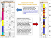
Annotated Geology Illustrations
|
| Classroom illustrations designed and used by Dr. J. Renton, WVU Geology Department. Grouped by content. Each illustration is accompanied by a short
description/discussion. Illustration may be used in many different ways, especially in a learning cycle mode. Text may be ripped from image to project clean
image for classroom white board use, provided as non-text images for note-taking, assessing prior knowledge, or content application. Colored graphics of
original line drawings by Betty Schleger, WVGES. |
 |
 |
 |
 |
 |
 |
 |
.pptx, 2,376 KB
Coastlines |
.pptx, 2,683 KB
Deserts |
.pptx, 636 KB
Energy |
.pptx, 1,862 KB
Faults and Folds |
.pptx, 2,101 KB
Glaciers |
.pptx, 2,243 KB
Groundwater |
.pptx, 353 KB
Mass Wasting |
| |
| |
 |
 |
 |
 |
 |
.pptx, 499 KB
Minerals |
.pptx, 2,476 KB
Plate Tectonics |
.pptx, 505 KB
Sedimentary Rocks |
.pptx, 1,969 KB
Volcanoes |
.pptx, 1,202 KB
Weathering and Soils |
|
Illustrations
|
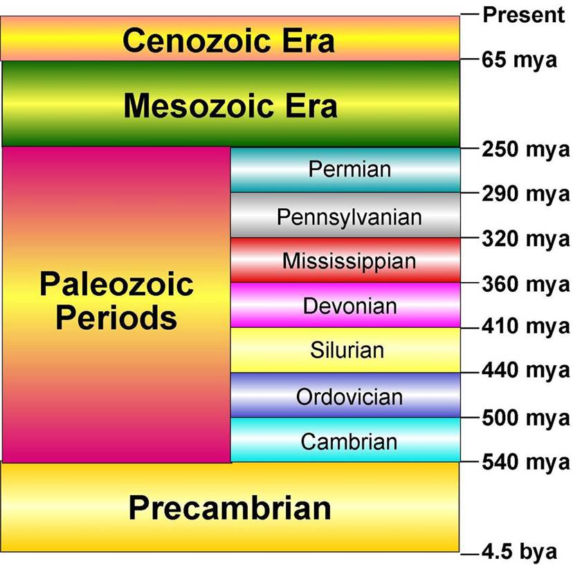
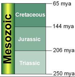
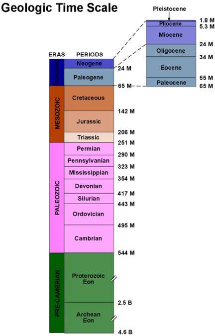
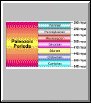
| Some of these illustrations are technically incorrect but still useful until updates become available. Their inaccuracy provides a clear example of the nature of science. Browse the Internet to discover how
the familiar Pennsylvanian and Mississippian terms have been downgraded to subsystems of the Carboniferous Period. |
 |
 |
 |
 |
 |
 |
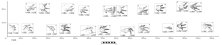
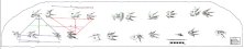
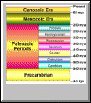
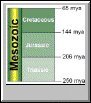
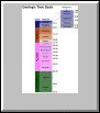
| Classroom-Friendly Geologic Column |
Paleozoic Periods #1 |
Paleozoic Periods #2 |
Mesozoic Era |
Geologic Time Scale |
Precambrian Eon and Eras |
|
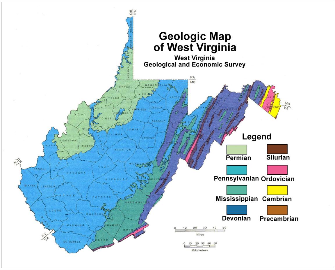
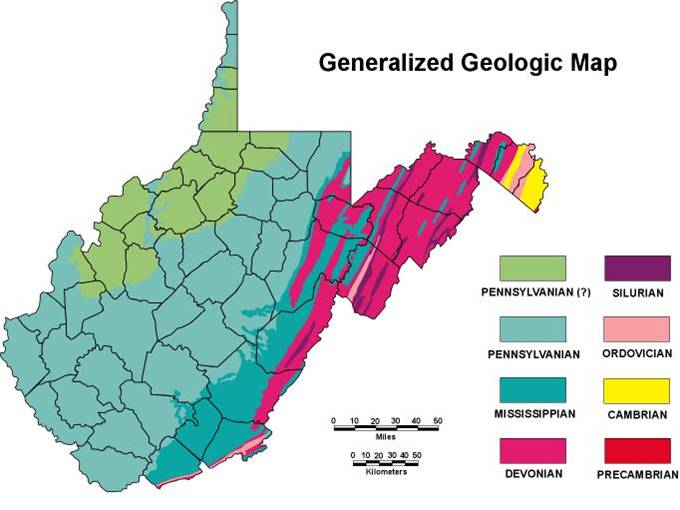
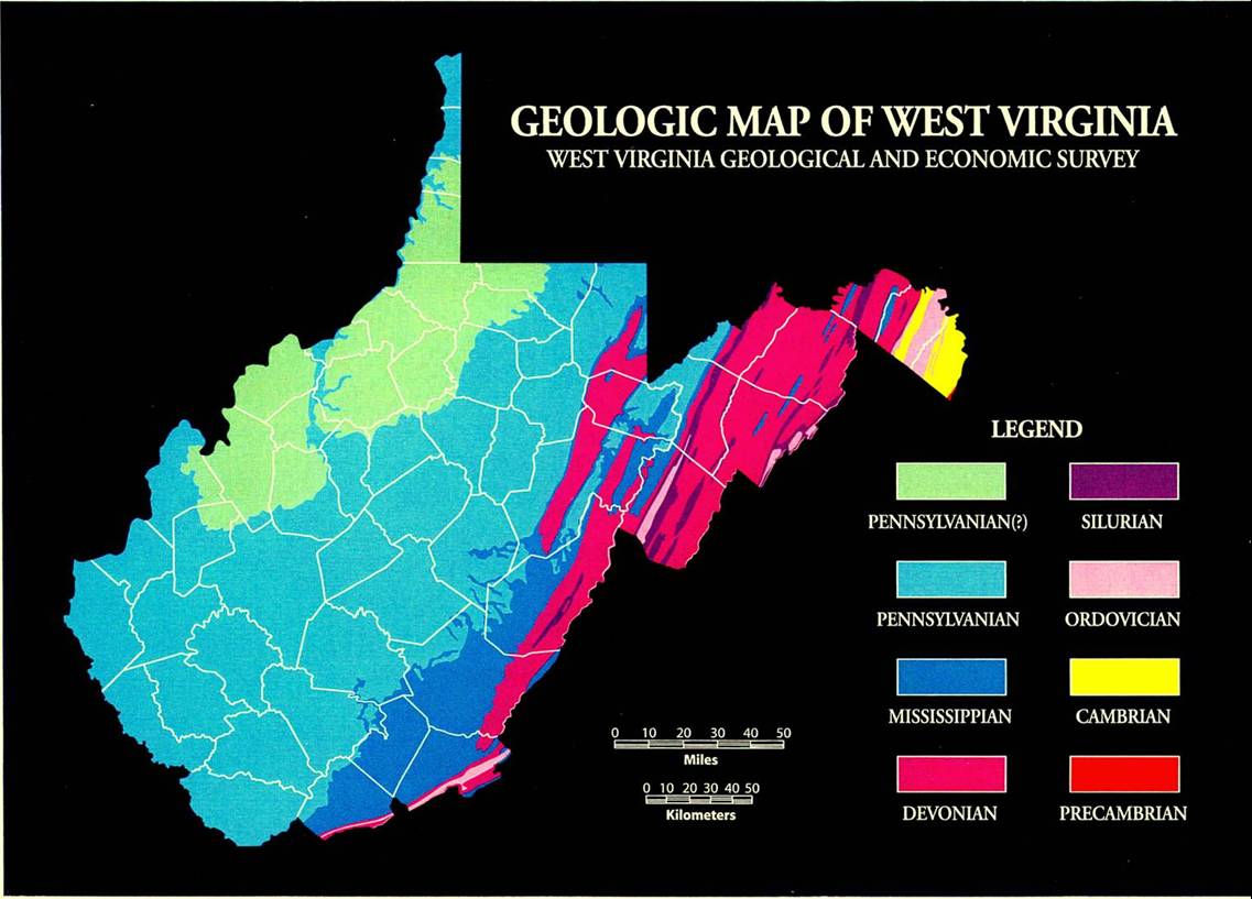
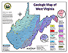
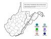
| Geologic Maps |
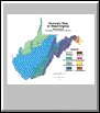
Geologic Map of
West Virginia
(shades of blue, green, and purple on white)
|
Geologic Map of
West Virginia
(shades of blue, green, and pink on white)
|
Geologic Map of
West Virginia
(shades of blue, green, and pink on black)
|
Geologic Map of
West Virginia
(interactive, layered PDF, using USGS colors)
|

.pdf, 54 KB
Make a WV Geologic Map! (with color key)
|

.pdf, 54 KB
Make a WV Geologic Map! (without color key)
|
|
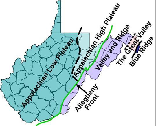
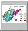
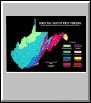
| Physiographic Provinces |
 |
 |
 |
 |
 |
 |
 |
 |
 |
| Color Me! Physiographic Province Map |
Color Me! Physiographic Cross Section |
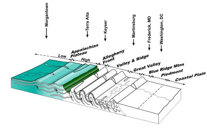
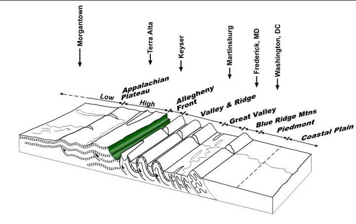
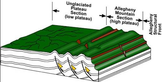
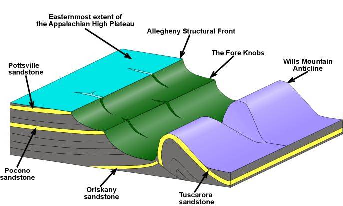
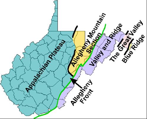
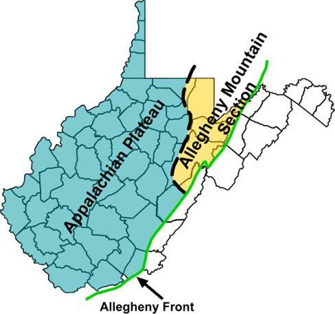
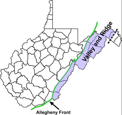
Appalachian Plateau and Allegheny Front |
Allegheny Front #1 |
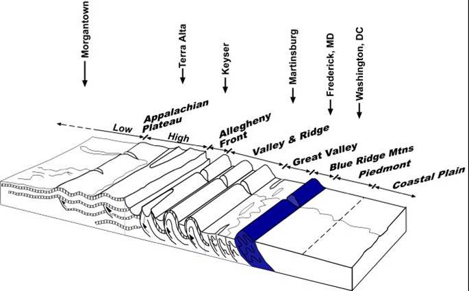
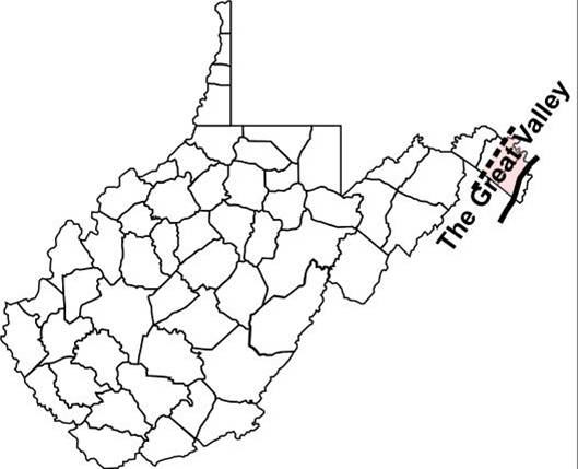
Great Valley |
Blue Ridge Mountains |
Appalachian Plateau |
Allegheny Front #2 |
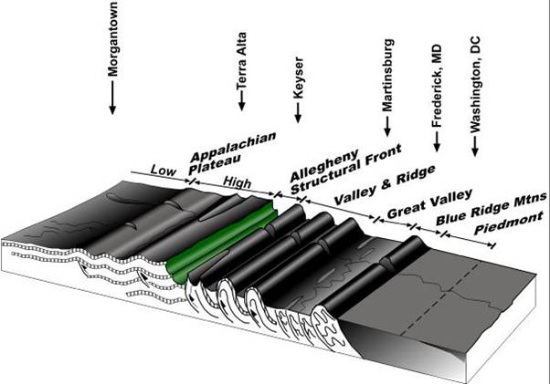
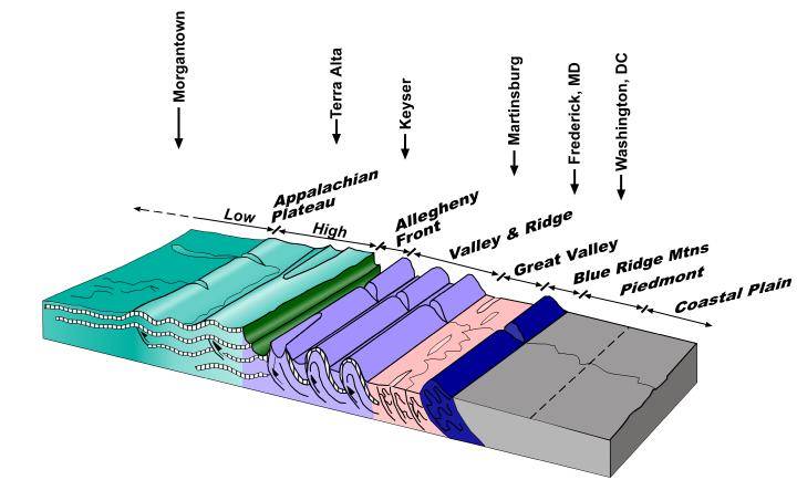
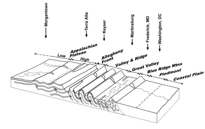
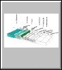
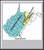
Geologic Provinces Cross-Section #1 |
 |
 |
 |
 |
 |
 |
 |
 |
| Geologic Provinces Cross-Section #2 |
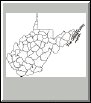
Plateau Province Map |
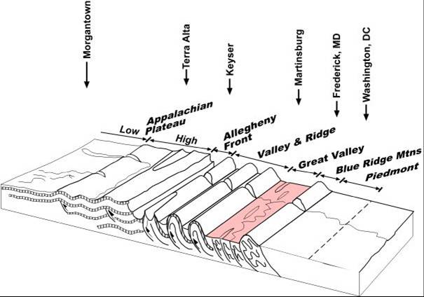
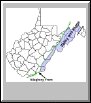
Valley & Ridge Province Map |
Great Valley Province Map |
Geologic Province Map #3 |
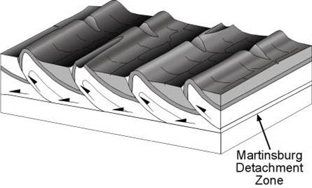
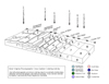
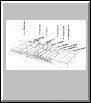
Geologic Block Diagram along Allegheny Front |
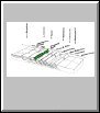
Valley & Ridge Folding and Faulting |
Map of Geologic Provinces #1 |
|
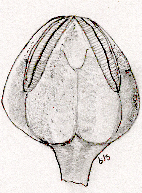
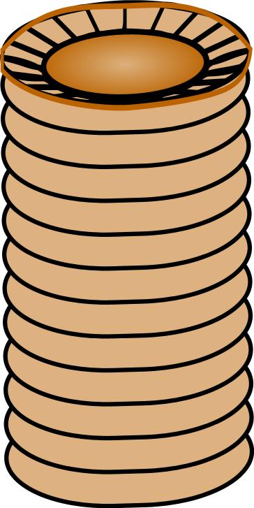
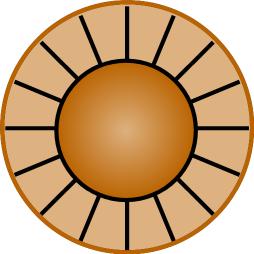
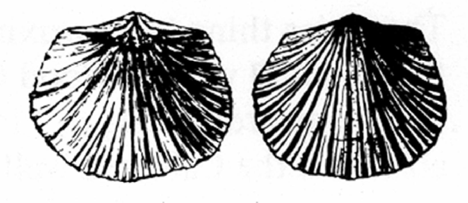
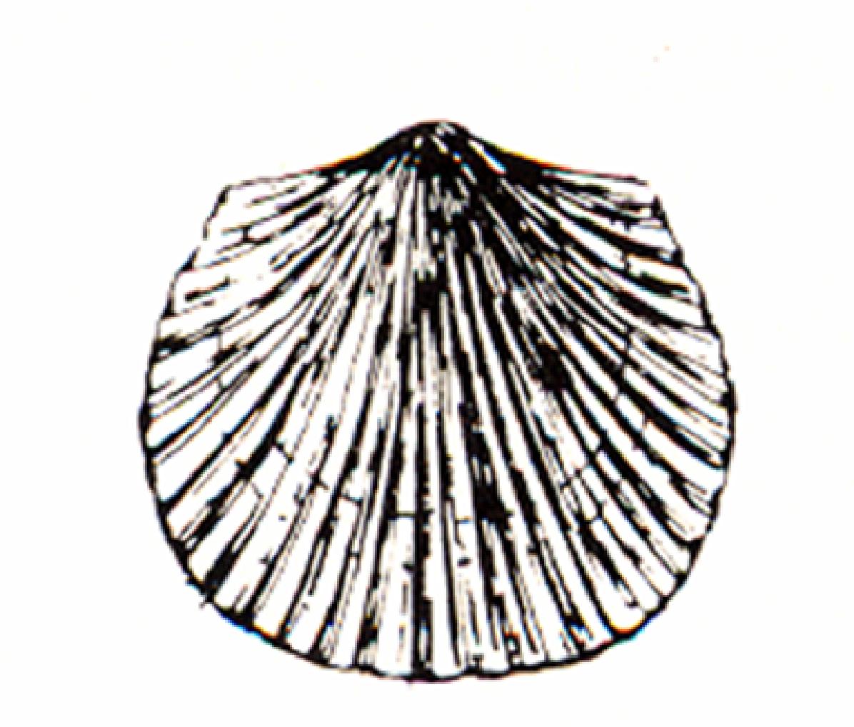
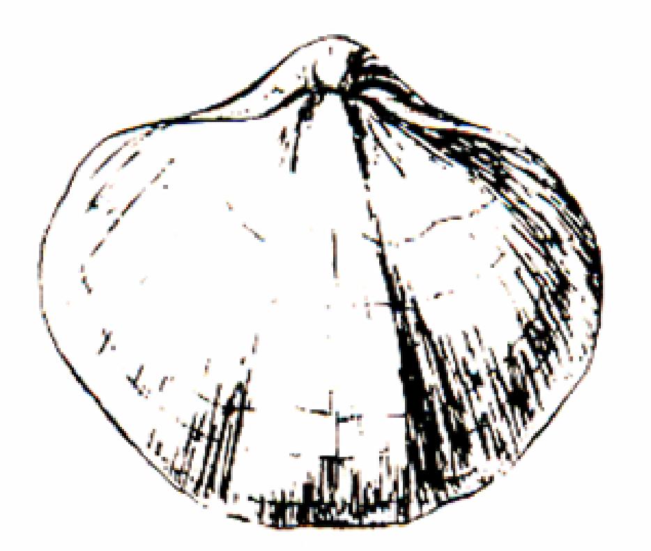
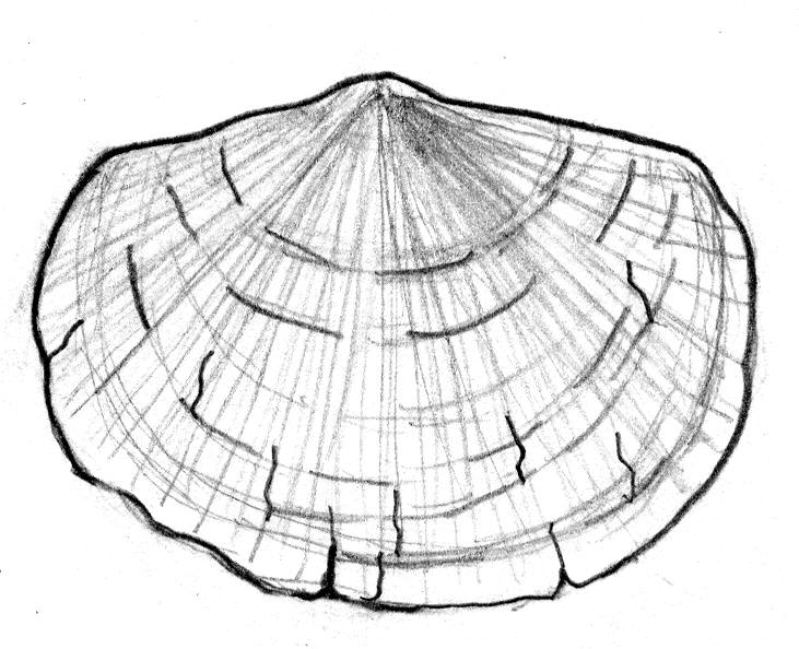
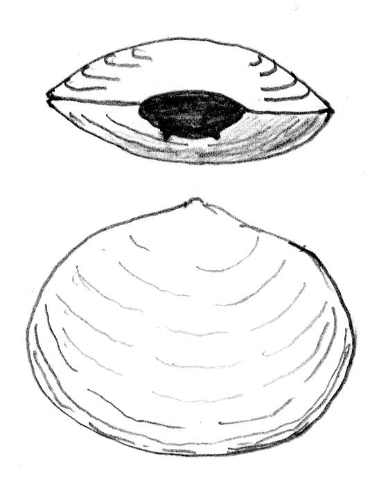
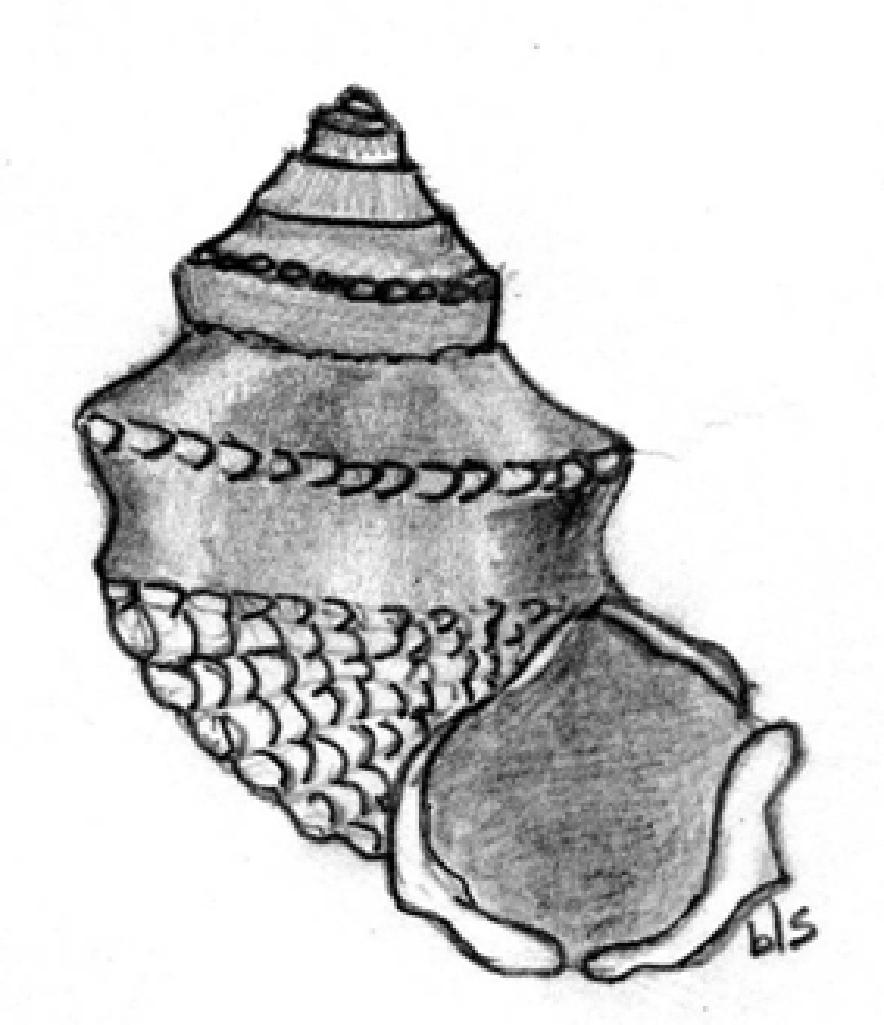
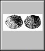
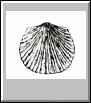
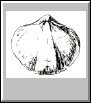
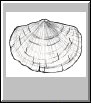
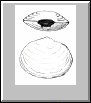
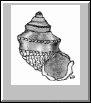
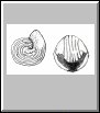
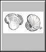
| Fossils |
 |
 |
 |
 |
 |
 |
 |
 |
 |
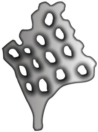
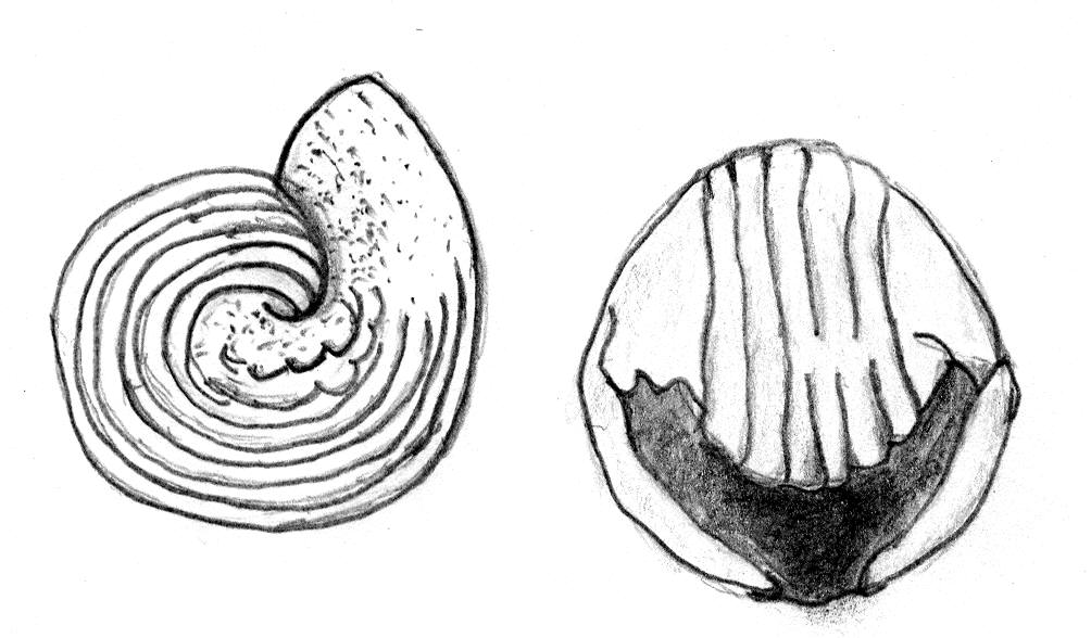
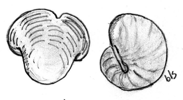
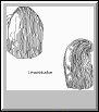
| Blastoid |
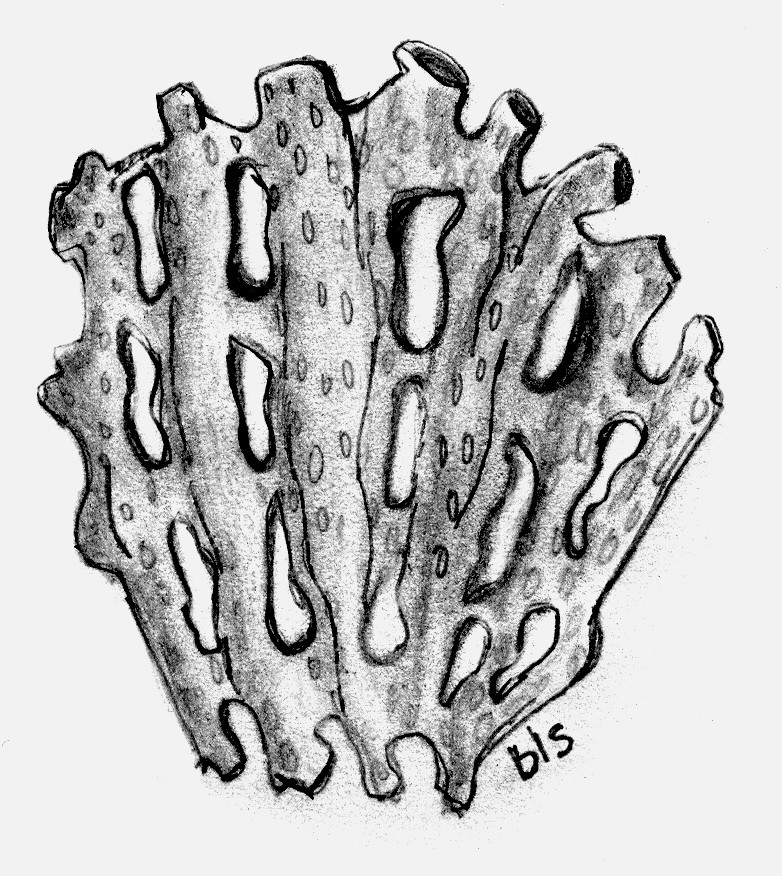
Bryozoan #1 |
Bryozoan #2 |
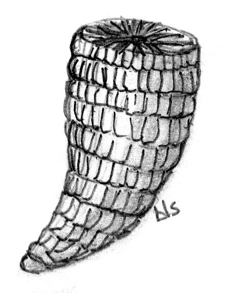
Horn Coral |
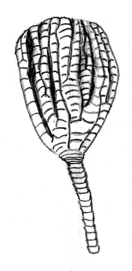
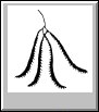
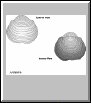
Crinoid with a Section of Stem |
Crinoid Stem |
Crinoid Stem
Top View |
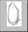
Brachiopod #1 |
Brachiopod #2 |
 |
 |
 |
 |
 |
 |
 |
 |
 |
| Brachiopod #3 |
Brachiopod #4 |
Brachiopod #5 |
Gastropod #1 |
Gastropod #2 |
Gastropod #3 |
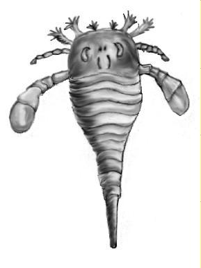
Eurypterid |
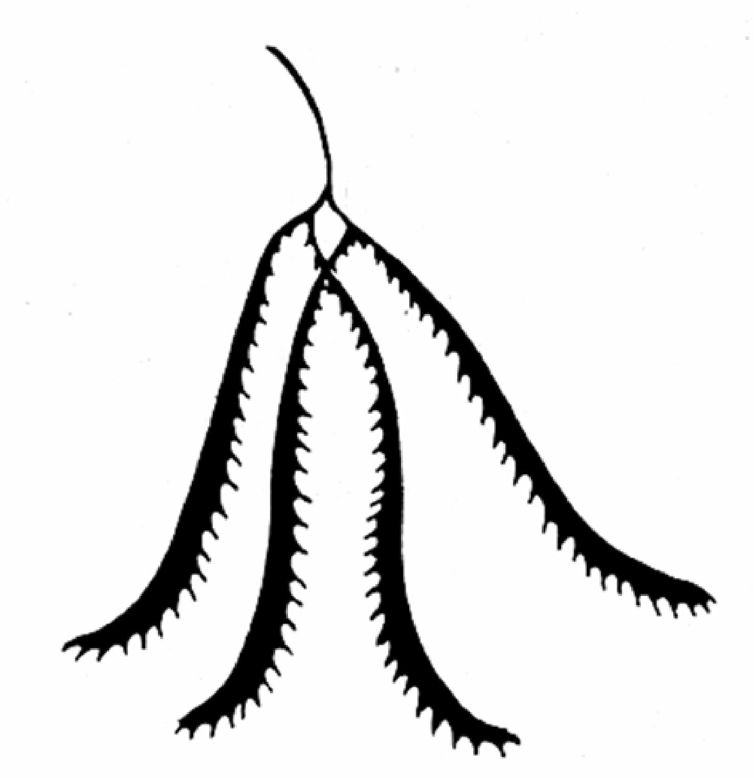
Graptolite |
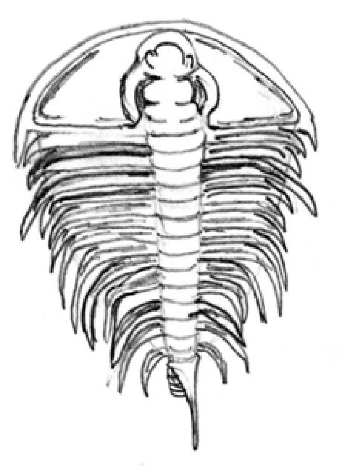
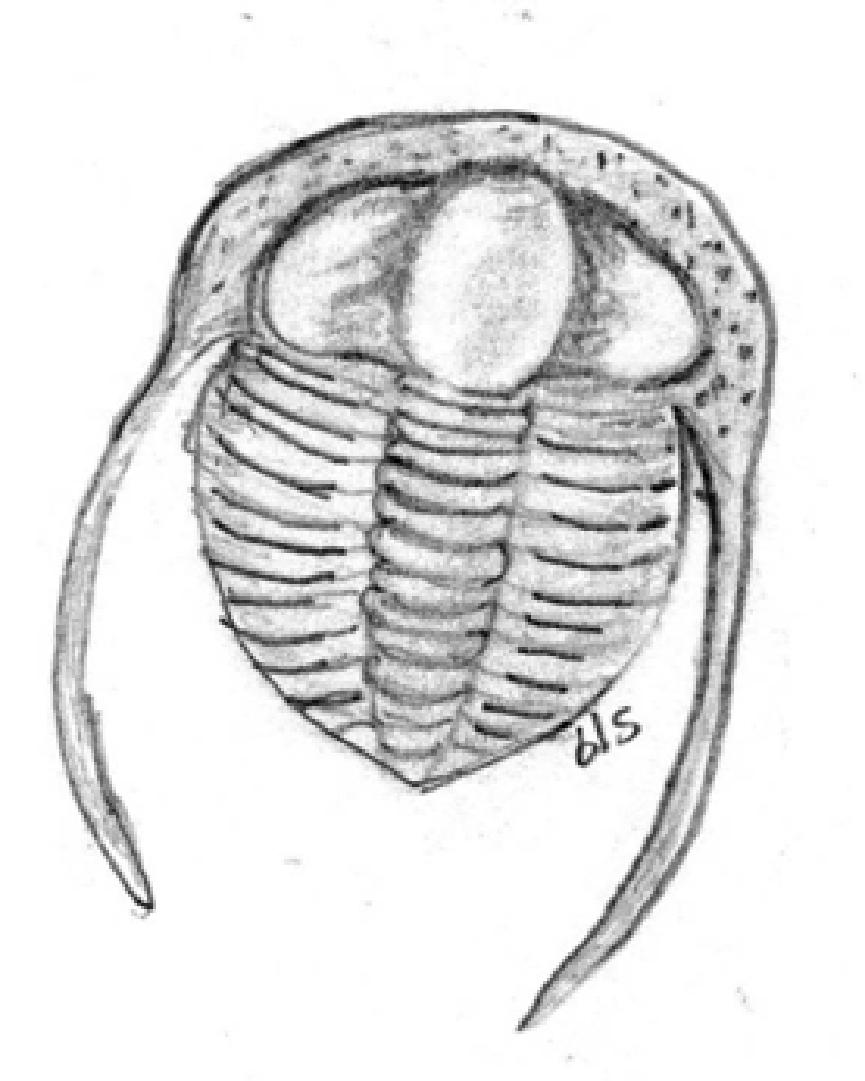
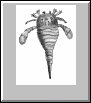
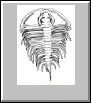
Trilobite #1 |
 |
 |
 |
 |
 |
 |
 |
 |
 |
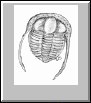
| Trilobite #2 |
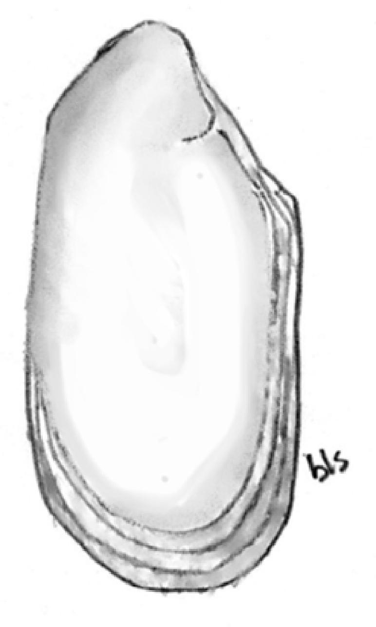
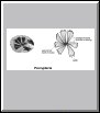
Pelecypod |
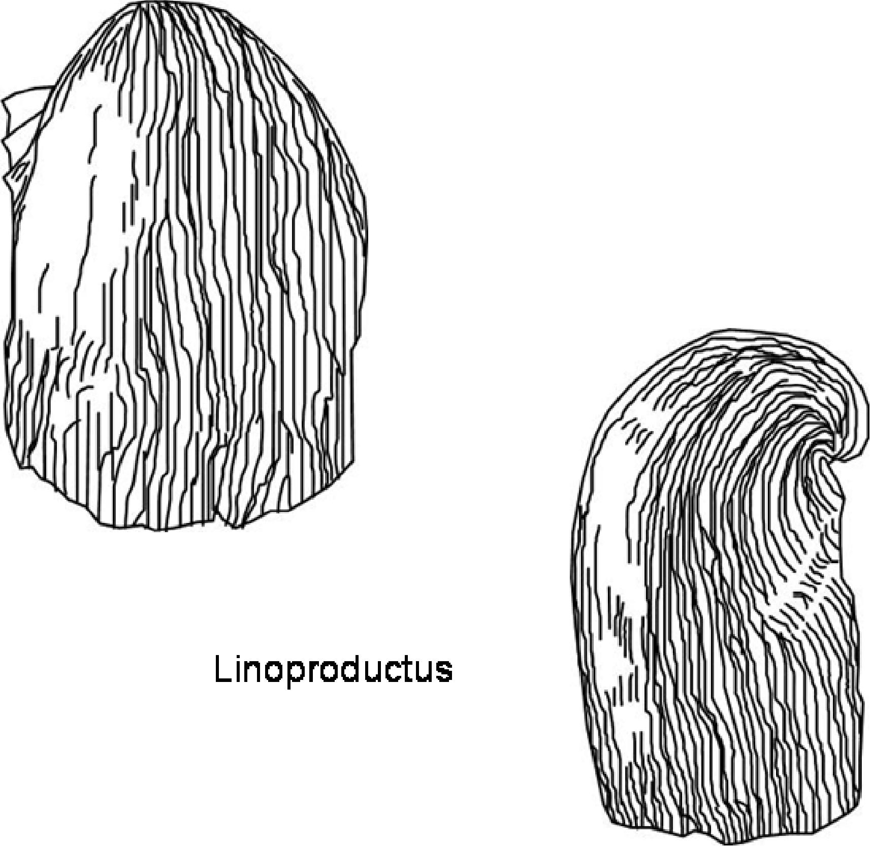
Linoproductus |
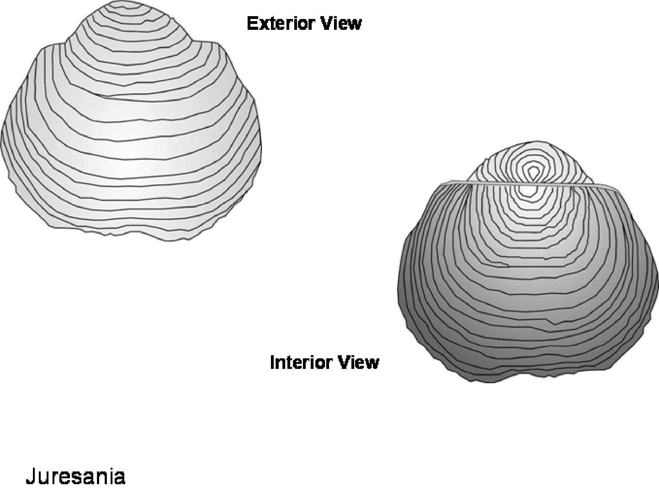
Juresania |
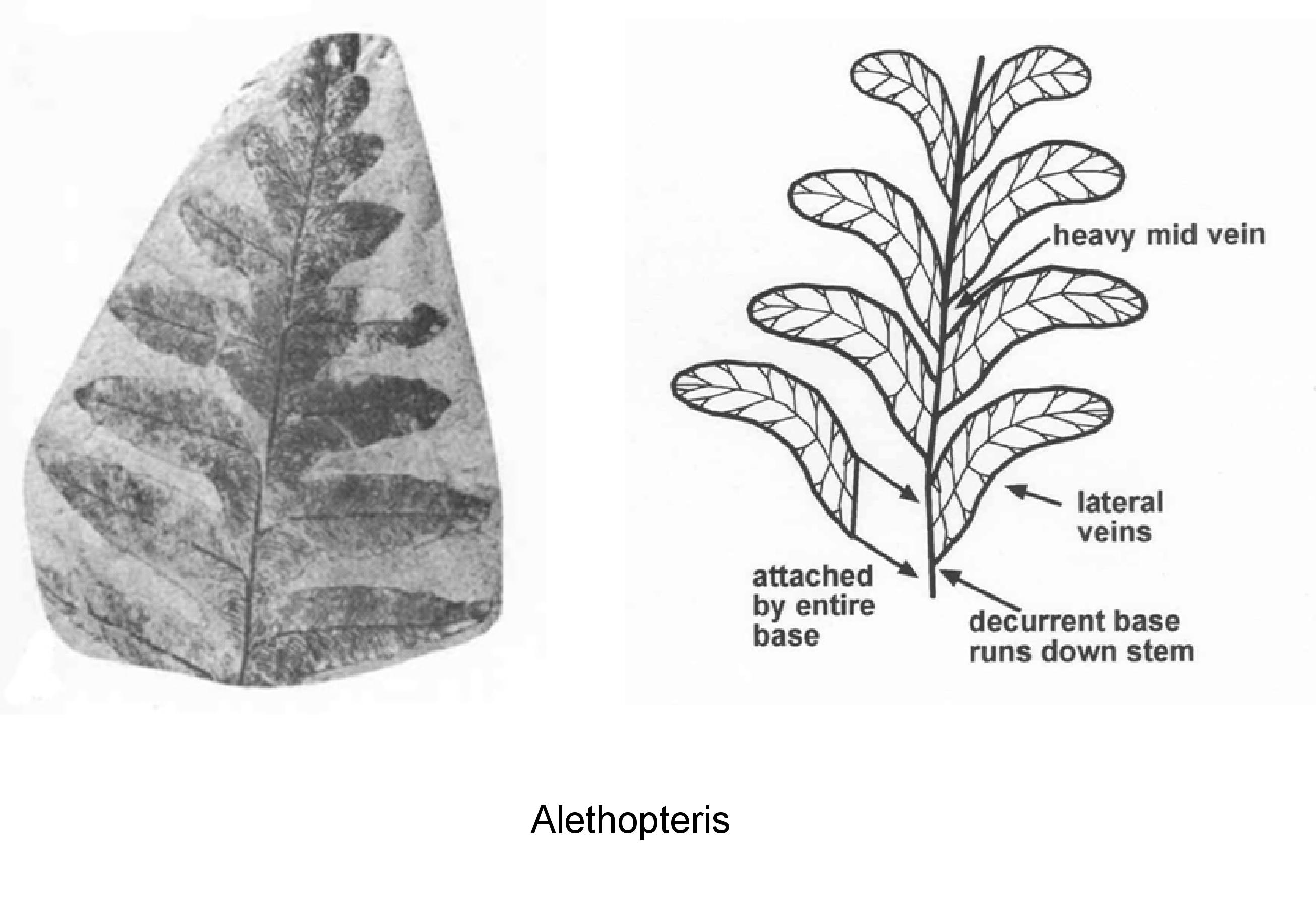
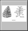
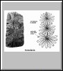
Alethopteris |
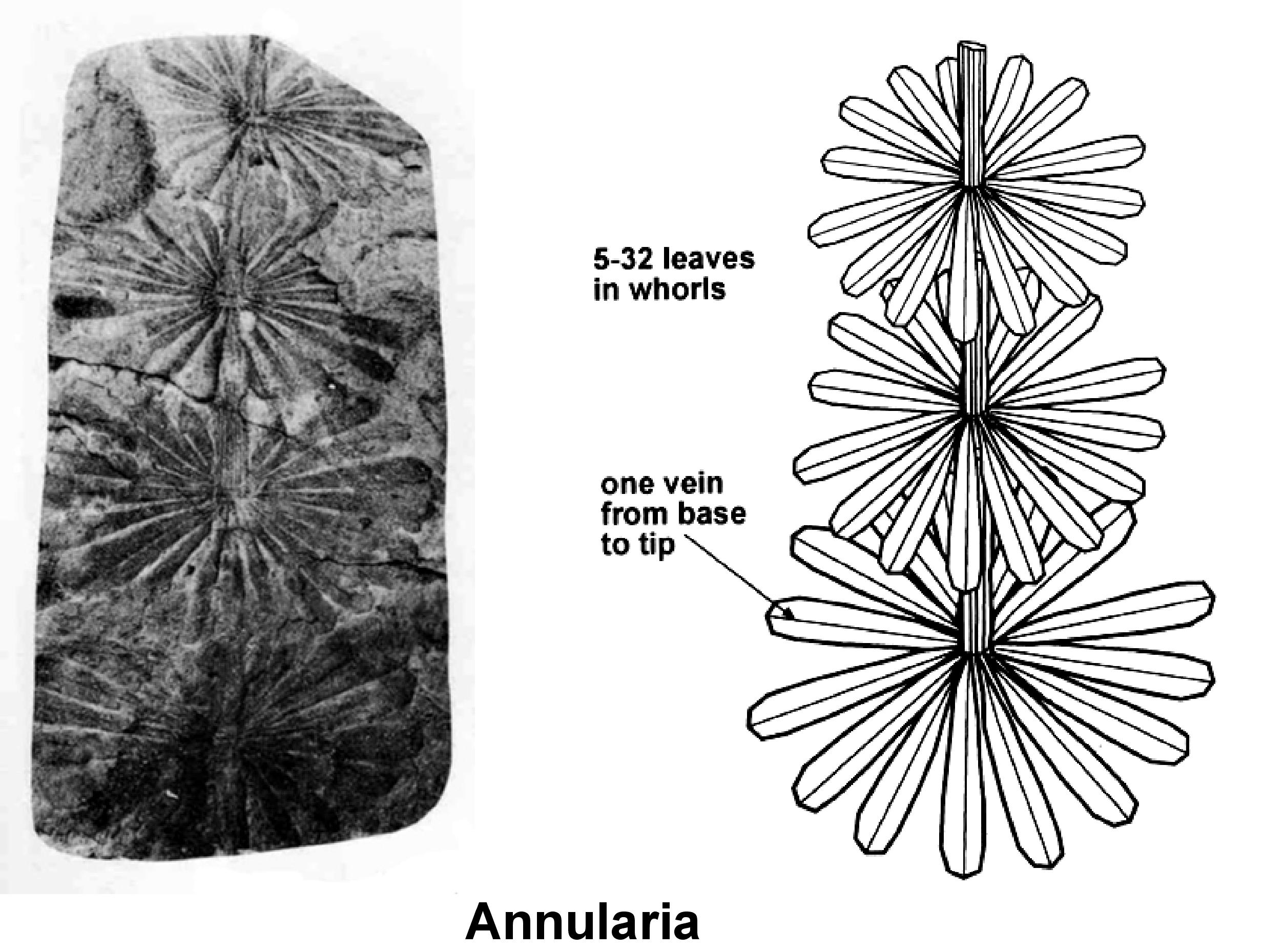
Annularia |
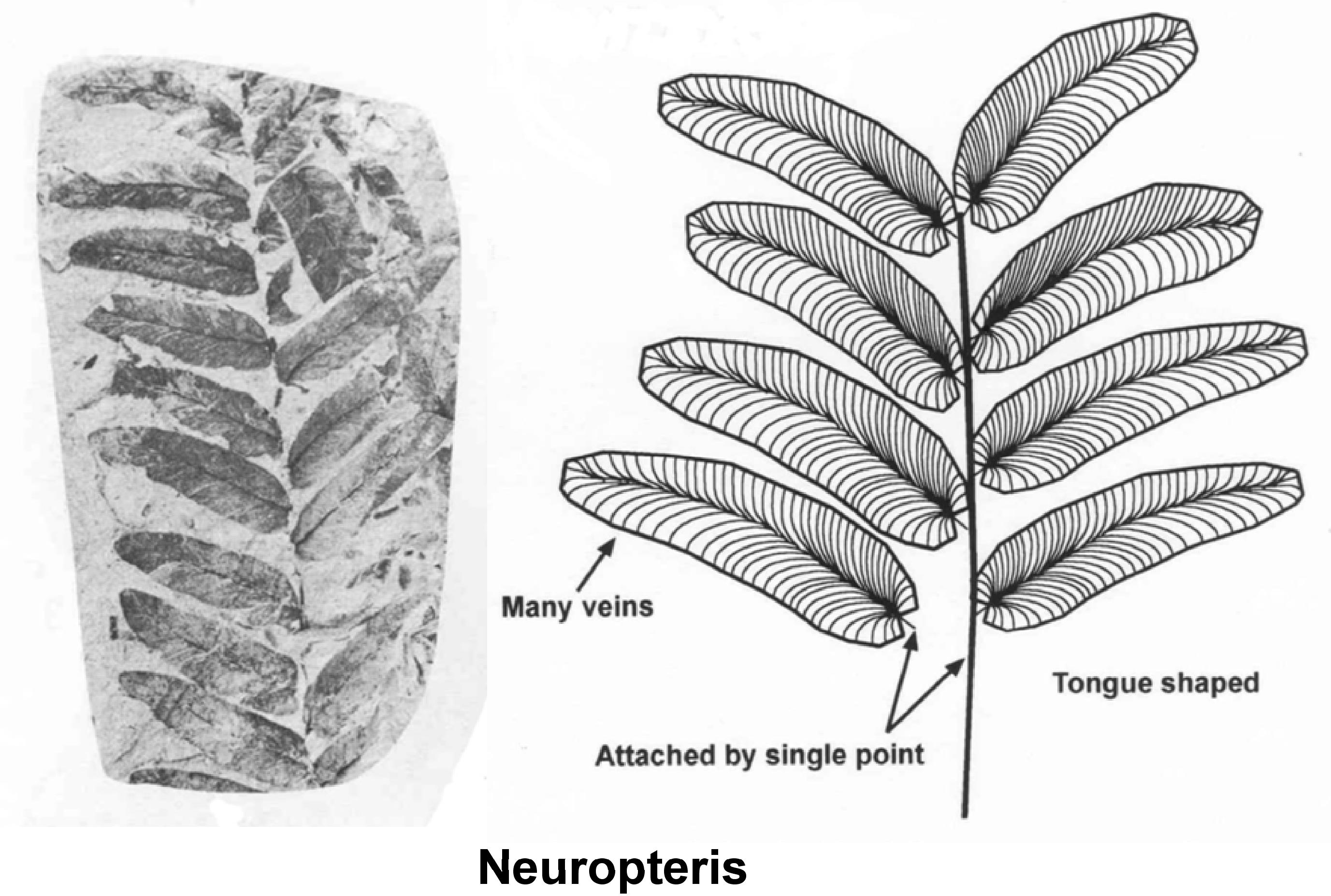
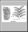
Neuropteris |
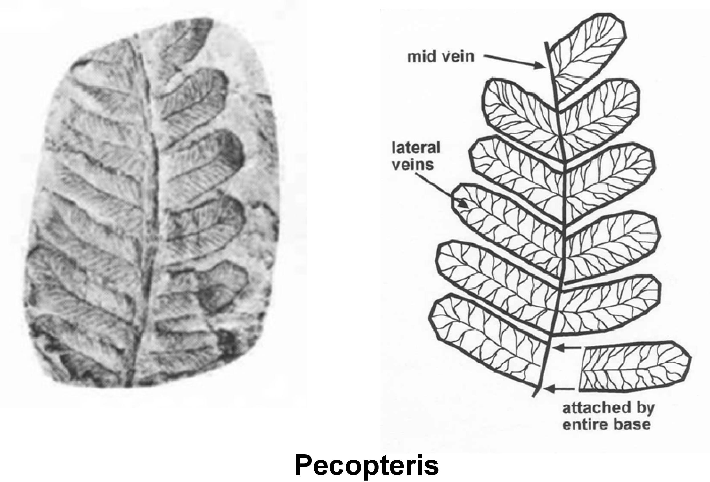
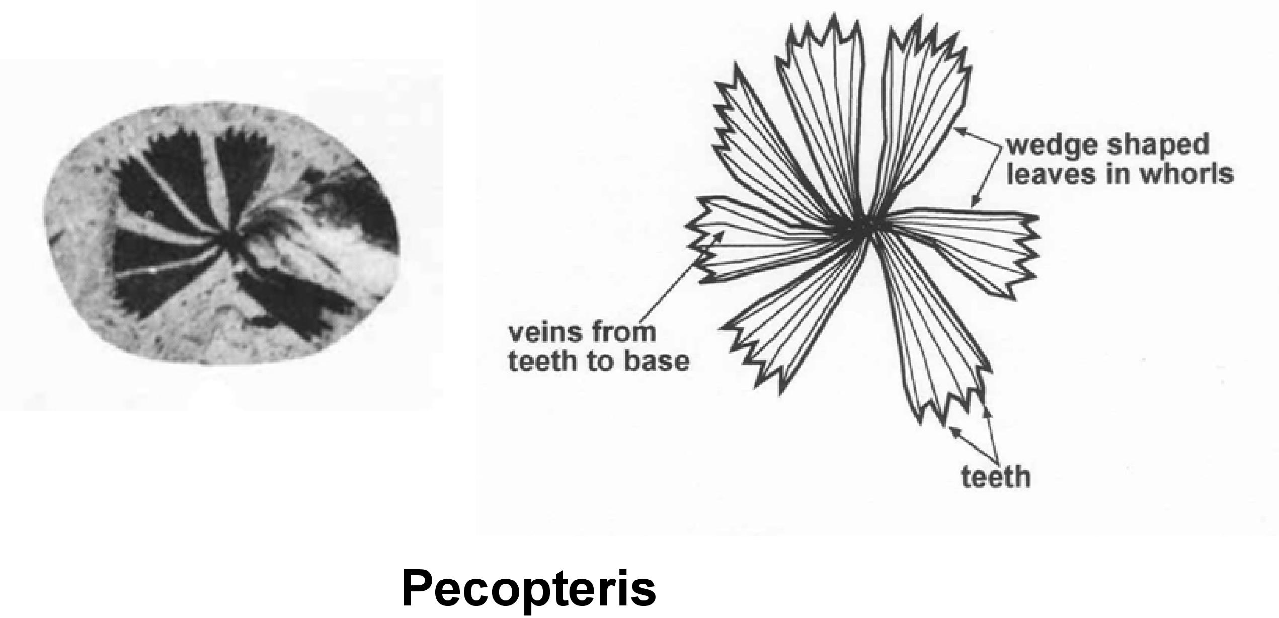
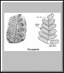
Pecopteris #1 |
Pecopteris #2 |
|
| Links to Interesting Topics on WVGES Website |
|
|
Photographs of West Virginia Outcrops
|
| Black and white photographs by Peter Lessing, WVGES, 1997. Arranged by topic and/or county to take advantage of the interactive nature of PowerPoint in its
presentation mode. To access the material, first save the file to your computer. Once saved, open it on your own computer using PowerPoint. On some computers,
you may be required to turn on the presentation (slideshow) mode in PowerPoint to use the files correctly. Files function best in PowerPoint 2010. The files may NOT work correctly
if opened directly from the WVGES web page, especially if using Internet Explorer. These large files may take a while to save to your computer. |
 |
 |
 |
 |
.pptx, 2.8 MB
By Topic |
.pptx, 4.2 MB
By County:
Berkeley to
Logan |
.pptx, 2.6 MB
By County:
Marion to
Morgan |
.pptx, 3.2 MB
By County:
Pendleton to
Wood |
|
Miscellaneous
|

|

|

|
.pdf, 2.6 MB
Geology for the Chemistry Teacher
|
.pdf, 5.4 MB
Concise Guide to Common Plant Fossils of West Virginia
|
.pdf, 1.5 MB
Origin of Earth's Water
|
|


 JPG
JPG JPG
JPG JPG
JPG JPG
JPG